GIS
Geographic Developers Laboratory is a Spatial Data Infrastructure with geolocation features. The infrastructure uses open license engines to produce integrated urban and territorial information based on Inspire framework. The platform is optimized for use in mobile devices, however is also available in desktop systems. The geolocation features are available only in mobile devices with incorporated positioning system. Important zonal informations are provided to investors or engineers in order to perform secure evaluation in their projects. On-line geographic information systems and generally, spatial data infrastructures with the capability of simultaneous web-based updating and geolocation features are provided to public authorities and developers through subscription services. An attempt to bring the GIS in an cloud level, seen as SaaS, with multiuser simultaneous editing from different users all over Europe.

Certified Data
We produce certified mapping data and, generally digital information in accordance with the international standards in the field of geographical information systems (GIS). The geographical data relating to various levels of urban planning and economic developemnt, deriving from the Greek and European legislation.
Inspire Data
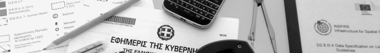
An important part of the geographical data relating to plans of cities and, more generally, institutionalized spatial zones, fully comply with the Inspire directive of the European Union, yielding valuable information for all of the institutionalised settings of urban, spatial and environmental planning, to all users of mobile devices with GPS.
Open Data
Also part of the cartographic data is available with a creative commons license, attribution and non-commercial use, with a view to promote the free movement of data created and rendered with open source software, while retaining certain intellectual property rights, related to commercial use and distribution.

ISO Consistent Data

Inspire Compliant Data

Open Source Data
About
We are engineers, geographic information systems specialists and planners that collect, renew and create geospatial data with love and devotion to regional development. We develop advanced spatial infrastructures for investors and local authorities. We are located all over Europe, communicating over net and work in cloud infrastructures, in order to offer outstanding and updated service in the field of Planning and Development. We have deep knowledge and extensive experience in Greek Datasets and procedures, acquired in various projects. As Urban Planners we can guarantee an outstanding outcome, based in our scientific background. Geographic Developers laboratory is an open professional space ready to undertake research activities. In collaboration with University Of Sassari in Italy and University of Thessaly in Greece, Geographic Developers Laboratory has contributed in the "state of the art" projects under internships and other research activities. We are always looking forward to establish new alliances in this field. Geographic Developers lab are an open source team prepared to perform voluntary tasks. For the past six years we are contributing in the development of OpenStreetMap project and other open source platforms of geographic information systems Umap through coding, localization or map development. Willing to contribute even more according to our time availability.